
On October 20, 2026, the Ministry of the Interior's National Land Surveying and Mapping Center (NLSC) announced that the first batch of results from its "2025–2026 multi-dimensional spatial information base data mapping procurement" is now available. The aerial photos were taken in 2025 and the mapping was done in 2026. The batch has two products:
- 1:1000 topographic maps (with orthophotos): 8 urban planning areas, with 331 vector sheets and 331 orthophoto sheets.
- 3D reality mesh models: 19 urban planning areas.
This batch is paid survey data supplied on request and is not part of the free open-data downloads. Orders can be placed now by fax, post or at NLSC sales counters, and online through the NLSC map e-shop ("國土測繪圖資e商城") from October 30, 2026.
Prices and how to order
NLSC charges under the "Fee Standards for National Land Surveying and Mapping Data," with two tiers: non-value-added and value-added. Under the standards, value-added use means turning the data into edited products or derivatives, or attaching it to published works, and supplying them for profit through public distribution or publication. According to NLSC's fee table:
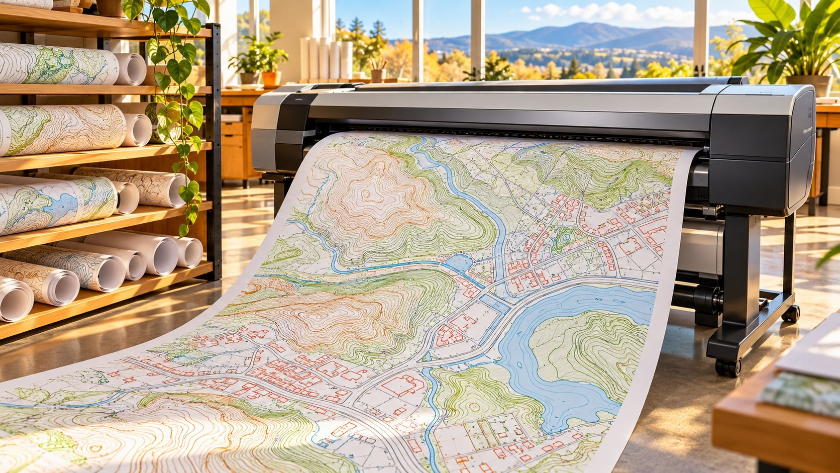
- 1:1000 topographic digital file (without orthophoto): NT$3,000 per sheet non-value-added, NT$6,000 value-added. It includes SHP, DWG and JPG print files.
- 1:1000 orthophoto: NT$1,500 per sheet non-value-added, NT$4,500 value-added.
- For both, sheets less than half covered by data are charged 50%.
- 3D reality mesh: NT$40 per hectare non-value-added, NT$80 value-added, supplied per urban planning area.
- 1:1000 map printed on A0 paper: NT$500 per sheet.
Academic institutions can apply for a fee reduction by official letter.
What 1:1000 maps and 3D meshes are
At a scale of 1:1000, one centimetre on the map equals 10 metres on the ground. Maps at this scale show building outlines, road edges, sidewalks and other details, and are used in urban planning and engineering design. An orthophoto is an aerial photo corrected for distortion from terrain and camera angle, so distances and areas can be measured on it like a map.

A 3D reality mesh is built from many overlapping aerial photos. Software calculates the 3D shape of the ground and buildings and then drapes the photos over the surface. The result looks like a photographic 3D city that can be rotated and zoomed, with roofs, walls, trees and terrain in one model. When NLSC supplied the previous batch of meshes in August 2025, it offered common 3D formats including 3MX, I3S and 3D Tiles.
The 2023–2027 multi-dimensional base data plan
The batch comes from NLSC's "Multi-dimensional Spatial Information Base Data Mapping and Update Plan (2023–2027)," approved by the Executive Yuan on November 11, 2022. Background: the Ministry of the Interior produced 1:1000 maps for urban planning areas between 1998 and 2013, but without ongoing update funding most of them no longer match conditions on the ground.

The plan's targets are 163,200 hectares each of 1:1000 maps and 3D meshes, 16,320 hectares of LOD2 building models and 800 LOD3 building models. LOD (level of detail) grades 3D buildings: LOD2 includes roof shapes, and LOD3 adds facade details such as windows and balconies. The plan follows a "photograph in year one, map and model in year two" cycle, so areas photographed in 2025 are being mapped in 2026. NLSC held a results presentation on October 6, 2026, attended by 172 people.
Base data for digital twins
A digital twin puts the shape and state of a real city into a computer so that planning, simulation and management can be tested on the model first. It depends on accurate, regularly updated terrain, building and imagery data. NLSC describes its goal as building a "complete and up-to-date multi-dimensional national base map for metropolitan areas" for ministries working on urban planning, land readjustment, utility networks, disaster prevention, civil engineering, water resources and transport, including spatial analysis, public facility planning and land-use simulation.

One example in use is the rooftop solar potential 3D query service launched in August, which uses data from the "Multi-dimensional National Spatial Information Service Platform" to calculate sunlight and shadows on each roof. See our article "Rooftop Solar by Address: How Taiwan's 3D Map Estimates It."
Paid files versus online map services
NLSC supplies data through two main channels with different uses and costs:

- NLSC map e-shop: for buying data files or paper maps that can be downloaded and used offline, such as this batch of 1:1000 maps and meshes. The e-shop also has an open-data download section, for example economic-construction topographic map files and administrative boundaries.
- NLSC Maps service cloud (maps.nlsc.gov.tw): layers delivered as web services. Users' systems connect through the OGC-standard WMS and WMTS interfaces and display maps live, while the data stays on NLSC servers. WMS generates map images on request; WMTS serves pre-cut tiles that load faster. Layers such as the Taiwan e-Map, land use, basic topographic maps and orthophotos can be connected without an application.
According to NLSC's supply table, the WMS and WMTS services of the service cloud, and the I3S and 3D Tiles services for 3D building and road models on the Multi-dimensional National Spatial Information Service Platform, are licensed for "non-value-added" use. Only Taiwan e-Map services at scales smaller than 1:18,000 are listed as open data. Some APIs, such as cadastral map services, address geocoding and routing, require a separate application or subscription.
In short: to display a base map in a website or system, start with the service cloud; to get files for editing, measurement or 3D analysis, order through the e-shop.
Possible directions for Taiwan
- Check coverage before ordering: batch 1 covers only 8 urban planning areas for maps and 19 for meshes. NLSC publishes the coverage and sheet lists, so compare them with your project area first.
- Mind the value-added tier: editing the data into products distributed for a fee requires the value-added rate. Switching from non-value-added to value-added use later means paying the difference.
- Use meshes and building models together: meshes look like the real scene and suit display and visual interpretation; LOD building models carry per-building attributes and suit statistics and analysis.
- Watch later batches and update cycles: the plan runs to 2027. Digital twins need base maps that keep being updated, so later batches and post-plan update arrangements will decide how long this data stays useful.
Sources
- NLSC, announcement of batch 1 supply of the 2025–2026 multi-dimensional base data procurement (in Chinese), 2026-10-20: https://www.nlsc.gov.tw/NLSC_Content.aspx?n=1454&sms=9680&s=342706
- NLSC, Multi-dimensional spatial information base data: plan overview and progress (in Chinese): https://www.nlsc.gov.tw/cp.aspx?n=17087
- NLSC, supply targets and fees (digital files, paper maps, network services) (in Chinese), updated 2026-09-08: https://www.nlsc.gov.tw/cp.aspx?n=1549
- Laws & Regulations Database of Taiwan, Fee Standards for National Land Surveying and Mapping Data (amended 2025-07-28): https://law.moj.gov.tw/LawClass/LawAll.aspx?pcode=D0060114
- NLSC Maps service cloud: https://maps.nlsc.gov.tw
- NLSC map e-shop: https://whgis-nlsc.moi.gov.tw/
Leave a comment
Comments are reviewed before publication. Email is private and used only when contact is necessary. Privacy notice