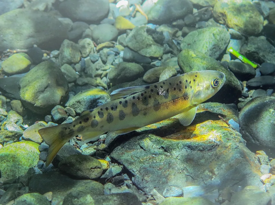
In early October 2026, a survey team from Shei-Pa National Park Headquarters set out from Huanshan, an Indigenous village in Heping District, Taichung. They hiked 3.1 kilometres along the Mount Zhijiayang trail, then waded 5.5 kilometres upstream. The one-way trip took more than six hours. Their goal was Sijielan Creek, a tributary in the upper Dajia River.
Team members pulled on wetsuits, lay face-down in the cold water and counted fish one by one. In a 600-metre reach they counted 117 Formosan landlocked salmon, a visible survival rate of 48.75%. These fish came from 240 juveniles flown up the mountain by helicopter in September 2025, when they were about ten months old. The park headquarters estimates that real survival is above 50%. The team also saw courtship behaviour and expects the fish to spawn naturally in November.

The Formosan landlocked salmon is an Ice Age relic that stayed in Taiwan's mountain streams. It spends its whole life in fresh water and never swims to the sea. It needs cold water, clean gravel beds and deep pools. The good news from Sijielan Creek rests on thirty years of surveys, dam removal, tree planting and modelling. Each step meant putting fish, water temperature and river channels on the same map.
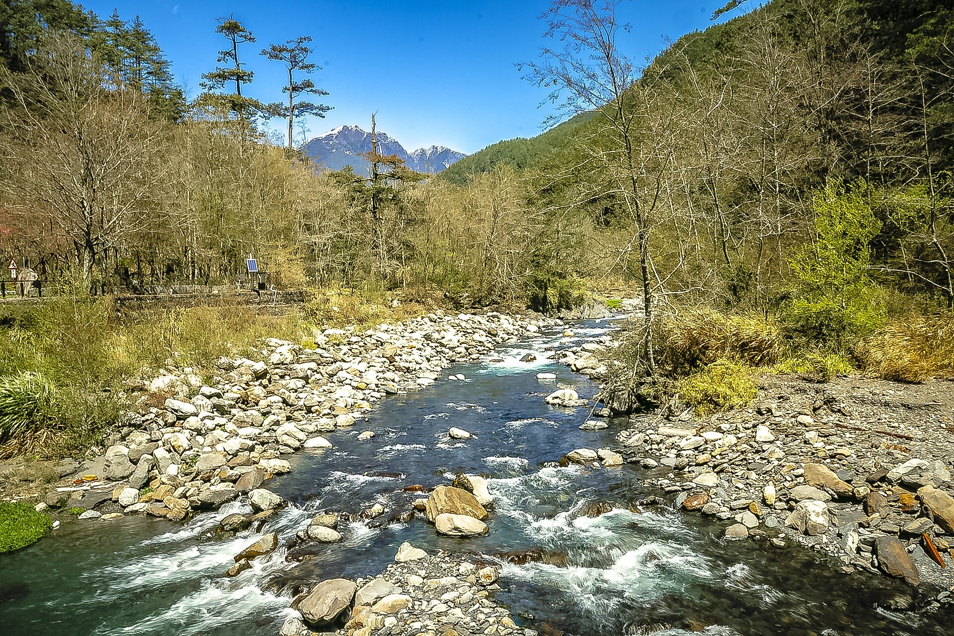
The salmon grew from about 200 fish to about 16,000
According to Shei-Pa National Park Headquarters, only a little more than 200 wild salmon remained in 1995, all within the Cijiawan Creek basin. By 2022 the number had recovered to about 15,000.
The park runs a population survey every year from June to October using snorkel counts. Surveyors move upstream through fixed reaches and record each fish they see and its size. Because every reach has a fixed location, each year's numbers can be layered on a map. That shows which stretches are getting busier and which are getting quieter.
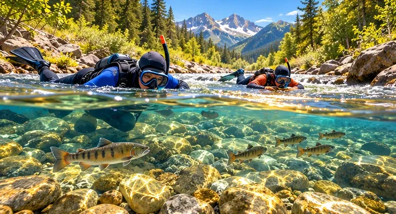
The 2023 survey counted 18,630 fish, the highest on record. The 2024 count was 16,897, with 8,684 in the Cijiawan Creek basin and 7,300 in the Hehuan Creek basin. The 2025 survey found about 16,020 fish, the third-highest on record, and counts have stayed around 15,000 for five years.
The population has also spread from one creek to several. Cijiawan, Hehuan, Nanhu and Luoyewei creeks have all been restored and no longer need stocking. Sijielan Creek is the newest stop.
Cijiawan Creek's Dam No. 1 was removed in 2011
From 1971, twelve large check dams were built in the Cijiawan Creek basin. Check dams hold back debris, but they also cut a stream into separate pieces. Fish cannot swim past them. Water behind the dams becomes shallow and warm, and gravel is trapped before it reaches downstream reaches.
In 1999 and 2000, the park headquarters first modified four dams on Gaoshan Creek so that water and sediment could pass through. The Water Resources Agency newsletter (Ministry of Economic Affairs) reports that salmon then spawned naturally there.
Cijiawan Creek Dam No. 1 was built in 1972. It stood 13 metres high and held back about 200,000 cubic metres of sediment. Removal began on 25 May 2011 and finished on 1 June, making it the first check dam removed in Taiwan. Before the work, staff moved more than 100 salmon to a gene bank facility. During the work, cameras, turbidity meters and water-level gauges covered a 3-kilometre reach. Downstream turbidity peaked at 178 NTU (nephelometric turbidity units) and settled within hours.
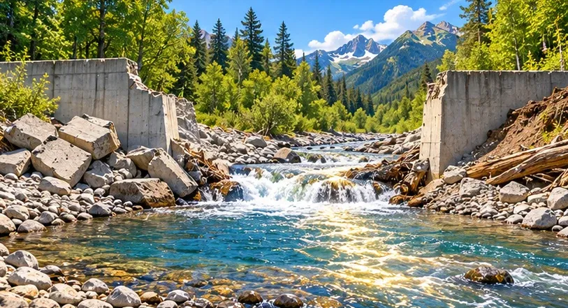
In a 2013 paper in the Journal of Chinese Soil and Water Conservation, Wang Hsiao-Wen and colleagues combined hydrological, topographic and image data to follow the channel for 18 months after removal. The main channel above the dam began to shift within minutes. Over one to two years the channel kept widening and cutting down. The team turned these changes into a channel evolution model for long-term monitoring.
Sijielan Creek's turning point is also linked to a dam. About ten years ago, a flood destroyed a check dam downstream. Scouring then re-formed deep pools and spawning gravel. Earlier releases into Sijielan Creek had failed, but the channel conditions are now different.
Shade and groundwater keep the water cold
Formosan landlocked salmon do not tolerate heat. In the Journal of National Park (2024, vol. 34, no. 1), Hu Tsan-Yang and Kuan Wen-Hui of Ming Chi University of Technology reviewed water-quality monitoring in the Wuling area from 2019 to 2023. They recommend more vegetation along the banks to create shade and keep water below 17°C. They also note that 8.1 hectares of farmland on the upper right bank of Cijiawan Creek were recovered in 2006, which lowered nutrient levels in the stream.
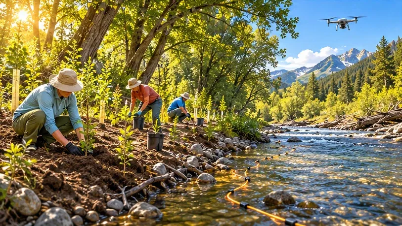
Where to plant can be worked out on a computer first. In a 2012 paper in Hydrological Processes, researchers from National Taiwan University, Academia Sinica, the park headquarters and other institutions used a stream temperature model to test planting plans for Cijiawan Creek. Shading angles had to exceed 50 degrees to make a clear difference, and a 70-degree angle upstream worked best. With a 90-degree shading angle upstream, the stretch of summer habitat suitable for salmon would grow by more than one kilometre. Planting on the west bank ranked second, because afternoon sun arrives from the west.
Drones have joined the measurements too. At the 2020 General Assembly of the European Geosciences Union (EGU), a team from National Taiwan Ocean University, National Taiwan Normal University and National Taiwan University presented an abstract on a small headwater stream of Cijiawan Creek. They laid fibre-optic distributed temperature sensing (DTS) along the stream to measure each short stretch, used electrical resistivity tomography (ERT) to see water moving under the bed, and added drone imagery to build a stream heat-budget model. They found that groundwater and flow beneath the streambed add cold water in summer and lower downstream temperatures.
New habitats offer better spawning conditions than the original creek
Before each release, researchers assess whether a new creek is suitable. In May 2025, researchers from the Biodiversity Research Center of Academia Sinica, Columbia University in the United States and the park's Wuling Station published a study in the Journal of Applied Ecology, funded by a park headquarters grant. They compared spawning nests, called redds, in the original Cijiawan Creek and in Hehuan Creek, where 900, 3,000 and 2,400 juveniles were released in 2017, 2018 and 2019.
Redd density rose with flow velocity and fell as conductivity and water temperature rose. Habitat suitability in Hehuan Creek was higher than in Cijiawan Creek, so the released salmon found a better place to spawn. The study also found that the range of conditions in which eggs hatch well is 49.5% smaller than the range females choose for nesting. Protecting spawning grounds therefore means paying special attention to what hatching needs.
Sijielan Creek is still under observation. Professor Lin Hsing-Juh of National Chung Hsing University told Public Television Service that at least one generation, more than three years, must pass before the population can be called stable. The park headquarters plans to release the full-year survey data at the end of the year.
Possible directions for Taiwan
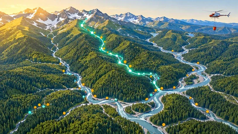
- Combine each year's snorkel counts, water temperatures and redd locations into an open spatial dataset, so researchers and students can compare thirty years of change on a map.
- Use terrain data and shade modelling to rank riverbank planting sites, so limited labour goes first to the places that cool the water most.
- Inventory existing mountain check dams and pair the list with sediment-transport simulations to judge which ones could be modified to let fish and gravel pass.
- After typhoons or heavy rain, map deep pools and gravel bars with drone orthophotos to track habitat change quickly.
- The park headquarters plans to start building a salmon ecology classroom in 2026. An interactive map there could show visitors how the salmon spread from creek to creek.
Methods and data for GIS research
- Shei-Pa National Park Headquarters' ecological survey database (in Chinese) holds long-term monitoring results for Cijiawan Creek, satellite maps and raw water-quality and weather data.
- The Ministry of the Interior's 20-metre digital terrain model supports slope, catchment, longitudinal profile and terrain-shading analysis.
- The Water Resources Agency's river tributary line data and river codes link survey reaches to the official stream coding.
- The National Land Surveying and Mapping Center's WMTS tile service provides orthophotos and base maps. The centre has also begun supplying 1:1,000 topographic maps and 3D mesh models.
- The Taiwan Biodiversity Network (TBN), built by the Taiwan Biodiversity Research Institute under the Ministry of Agriculture, and the Global Biodiversity Information Facility (GBIF) species page offer occurrence records with coordinates.
- For land-surface change across whole catchments, OlmoEarth's 10-metre satellite embeddings can help compare vegetation and landslides.
- For methods, the studies above offer fibre-optic temperature sensing with heat-budget models, channel evolution models after dam removal, and niche models built from redd locations.
Leave a comment
Comments are reviewed before publication. Email is private and used only when contact is necessary. Privacy notice