
The Highway Bureau Moves Drone Inspection In-House
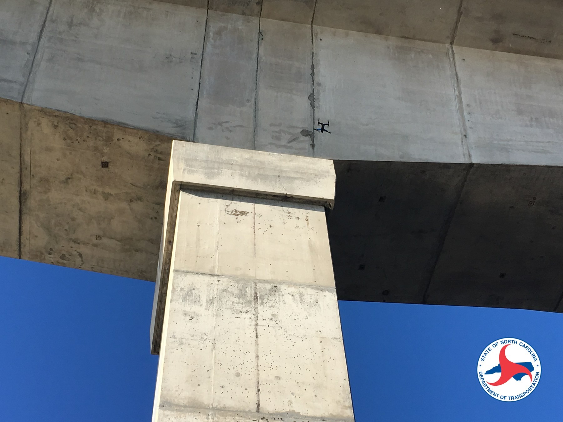
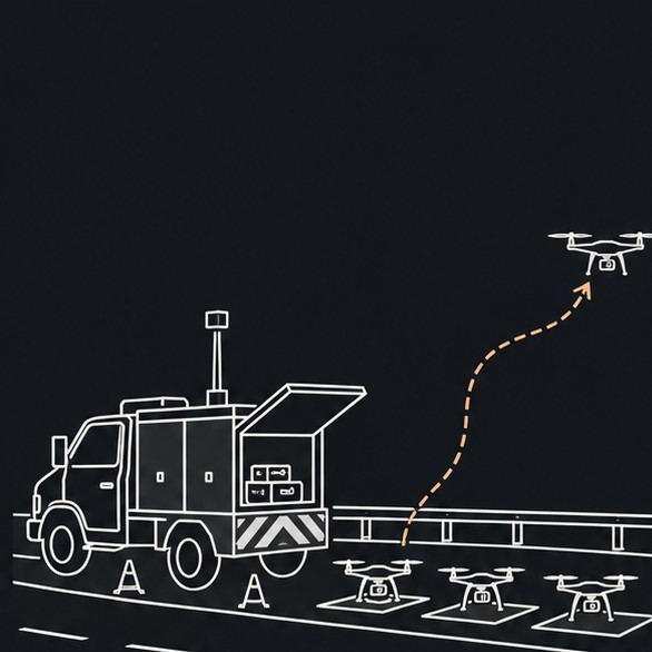
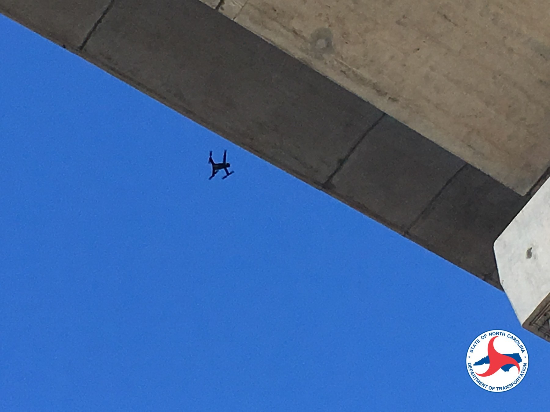
On November 5, 2026, Chou Ting-chang (周廷彰), Deputy Director General of the Highway Bureau under Taiwan's Ministry of Transportation and Communications, explained that slopes, bridge undersides and piers along mountain highways have long been hard to inspect, relying on people walking or climbing, or on bridge inspection vehicles. The Bureau has introduced drones in recent years and now builds 3D models from the imagery and passes them to AI for analysis (iThome, 2026-11-05).
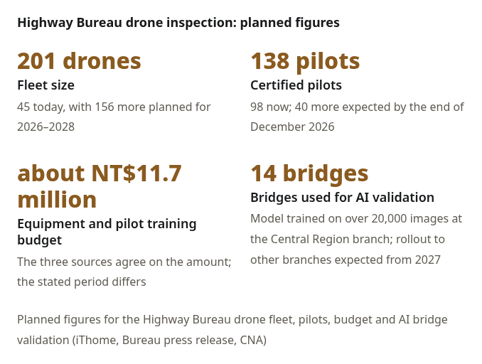
Drone inspection was mostly outsourced and is to shift gradually to routine in-house operation. Each maintenance engineering branch already has drones for bridge, slope and road patrols. The planned figures are:
According to Central News Agency (CNA) on 5 November 2026, Deputy Director-General Chou Ting-chang said the Bureau now has 45 drones and plans to buy 156 more in 2026–2028 (ROC years 115–117), bringing the fleet to 201; it now has 98 licensed operators and expects 40 more by the end of December 2026. A budget of NT$11.7 million is allocated from this year through 2028 for equipment and pilot training. Liberty Times reported the same figures that day. United Daily News and Economic Daily News also described a 201-drone fleet by 2028 and a NT$11.7 million budget; one of those articles also said the fleet was expected to reach 201 next year, which does not match the 2026–2028 purchase window in the CNA and Liberty Times reports. This article follows CNA and Liberty Times.
AI Bridge Inspection Pilot: 20,000 Images, 14 Bridges
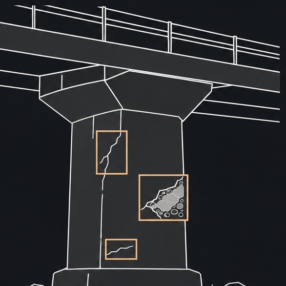
The AI bridge inspection pilot at the Central Region Maintenance Engineering Branch trained its model on more than 20,000 images. It can identify cracks, concrete spalling, exposed rebar and protective-layer deterioration. Chou said accuracy exceeds 80%; the Xiluo Bridge on Provincial Highway 1 and the Ziqiang Bridge on Provincial Highway 19 are demonstration cases.
AI recognition is still at the pilot stage. The Central Region branch is validating it on 14 bridges, with gradual rollout to other branches expected from 2027. AI serves as a first screening; engineers review the results before deciding on reinforcement or repair.
The national bridge count depends on the scope used. The Institute of Transportation (IOT) report covers about 23,000 road-vehicle bridges nationwide; the United Daily News reports more than 26,000 bridges including pedestrian-vehicle and railway bridges, of which the Highway Bureau manages over 3,900 provincial highway bridges.
Slope Monitoring and Post-Disaster Surveys
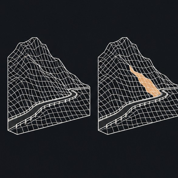
At some slopes on Provincial Highway 2, managed by the Keelung Maintenance Section, 3D modeling is used to keep monitoring collapse areas, and the plan is to add AI image recognition later. The Puli Maintenance Section recorded Provincial Highway 14A over Hehuanshan with nearly three years of aerial imagery; its work "Four Seasons of Hehuanshan" took first place in the scenic category of the Bureau's drone creative AI application contest.
Chou compared periodic inspection to an "MRI" for highway assets: comparing 3D models from different dates helps show how a slope or bridge is changing. After a disaster, aerial images and models help assess rivers, collapses and repair priorities. The Bureau also wants to share data between rail and highway agencies.
IOT and NCKU: Flying Under Bridges
The Institute of Transportation and National Cheng Kung University ran "Research on Applying Drones with AI Image Recognition to Bridge Inspection (2/2)". Work across 2022–2025 (ROC 111–114): the AI recognition model was completed in 2022, validated on real bridges in 2023, in 2024 the team drafted procedures for a 3D image model for bridge inspection and evaluated geometric deformation detection algorithms, and 2025 is planned for training, operating guidelines and technology transfer. The project page lists six component types (girders, diaphragms, piers/cap beams, decks, abutments, retaining walls) and three deterioration types (concrete cracks; spalling with exposed, rusting rebar; seepage and efflorescence), and reports test flights under a bridge without GPS using visual positioning combined with UWB (ultra-wideband) (IOT project page).
Cesium's November 2026 Update: GA Features and Technology Previews
Cesium published its monthly release post on November 3, 2026, and a product announcement on November 4 describing a new generation of design-driven applications. The Cesium ion BIM/CAD Tiler and iModel import from Bentley Infrastructure Cloud are listed as generally available (GA), and the Asset Elements design-model query feature is also announced as GA.
The same announcement also lists features that are still Technology Preview or experimental, separate from the GA features above:
- Clipping Assist: generates a GeoJSON footprint from a 3D Tileset for clipping. Cesium describes it as a reviewable, adjustable starting point; check and refine the result before use.
- Edge-snapping measurement: the Cesium ion SDK measurement tools gain edge snapping. The November 4 announcement lists it as Technology Preview; optional server-side refinement is available for BIM/CAD assets.
- CesiumJS 1.147: adds the experimental IonAssetElementService to query, filter, aggregate and browse element metadata of BIM/CAD assets, with BIM-style tree navigation.
- Demo: Cesium shows rebar quantity estimates for a proposed bridge design (model provided by JMT), displaying bar count, weight and length.
Where 3D GIS and Digital Twins Could Meet
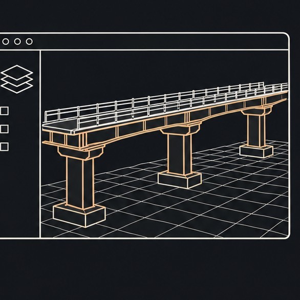
iThome reports that inspection imagery, 3D models and inspection results are retained as a basis for later comparison. Neither the Highway Bureau's nor Cesium's public material says the two are collaborating, or that a full digital twin of bridge and slope maintenance has been built.
On October 20, 2026, the National Land Surveying and Mapping Center announced immediate supply of the first batch of its multi-dimensional spatial base maps, covering 3D realistic image mesh models for 19 urban planning areas; online ordering opens October 30. See our earlier report: 國土測繪中心開始供應千分之一地形圖與三維網格模型.
Sources
- Central News Agency, “Highway Bureau to budget NT$11.7 million over three years to expand drone inspections of roads and bridges,” 5 November 2026: https://www.cna.com.tw/news/ahel/202611050191.aspx
- iThome, 2026-11-05: https://www.ithome.com.tw/news/180263
- Highway Bureau, MOTC, press release (ROC 115-11-05): https://www.thb.gov.tw/News_Content_table.aspx?n=12181&s=308341
- Economic Daily News (CNA), 2026-11-05: https://money.udn.com/money/story/7307/9859765
- United Daily News, bridge counts: https://udn.com/news/amp/story/7266/9860238
- Institute of Transportation, MOTC, bridge inspection project page: https://www.iot.gov.tw/zh_tw/about/projects/p2/-27179152
- Cesium, "Cesium Releases in November 2026", 2026-11-03: https://cesium.com/blog/2026/11/03/cesium-releases-in-november-2026/
- Cesium, product announcement, 2026-11-04: https://cesium.com/blog/2026/11/04/new-generation-of-design-driven-applications/
- Ministry of the Interior / National Land Surveying and Mapping Center announcement: https://www.moi.gov.tw/News_Content.aspx?n=9&s=342714
Possible directions for Taiwan
Leave a comment
Comments are reviewed before publication. Email is private and used only when contact is necessary. Privacy notice