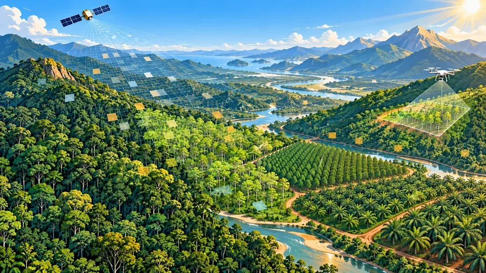
ForTy Classifies 2020 Global Land into Six Types
Google DeepMind, the World Resources Institute (WRI), Google Research and the International Institute for Applied Systems Analysis (IIASA) have released ForTy (Forest Typology v1), a global forest type map. The paper, "Global forest typology at 10-meter resolution for forest and land-use monitoring," was published in Scientific Data on 21 October 2026. The map assigns all land in 2020 to six classes at 10-meter resolution: primary forest, naturally regenerating forest, planted forest, plantation forest, tree crops and agroforestry, and other land. The classes are aligned with definitions from the Food and Agriculture Organization (FAO) and the EU Deforestation Regulation (EUDR).
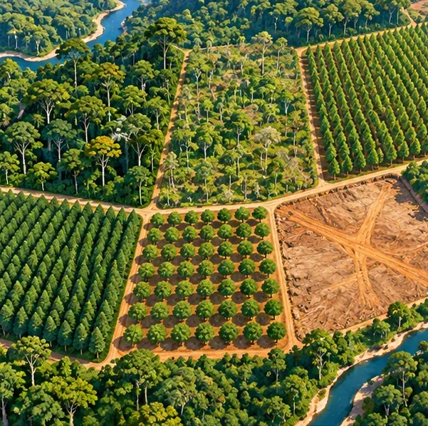
DeepMind notes that most global tree-cover maps only show whether trees are present. The paper states that distinguishing forest types is useful for carbon accounting, biodiversity assessment, conservation planning and supply-chain regulation.
- Primary forest and naturally regenerating forest are natural forests; the latter includes forest that has regrown after disturbance.
- Planted forest and plantation forest are both planted. The paper’s operational definition treats intensively managed forest with a rotation of ≤40 years as plantation forest; planted forest is a separate class. The Decoder reports that this cutoff does not fit every region.
- The tree crops and agroforestry class includes oil palm, rubber and cocoa.
The EUDR Needs a 2020 Land Baseline
The EUDR requires that covered commodities do not come from land deforested after 31 December 2020. The Decoder reports that oil palm and cocoa farms count as agricultural land, so companies assessing supply-chain risk need to know how a site was used in 2020, and ForTy provides that 2020 reference point.
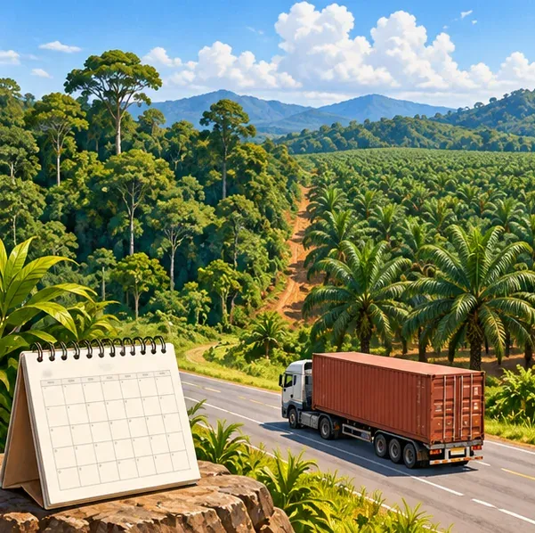
The Decoder adds that such data could also be used by initiatives such as the Tropical Forest Forever Facility (TFFF).
A Three-Stage Model Built on AlphaEarth Embeddings
ForTy builds on AlphaEarth Foundations, which DeepMind introduced in July 2025. The model compresses data from multiple satellites into a compact description (an embedding) of each 10 m × 10 m pixel. The Decoder reports that annual embeddings covering years since 2017 are available in Google Earth Engine. Related coverage on this site: OlmoEarth v1.3 Releases Global 10 m Satellite Embeddings.
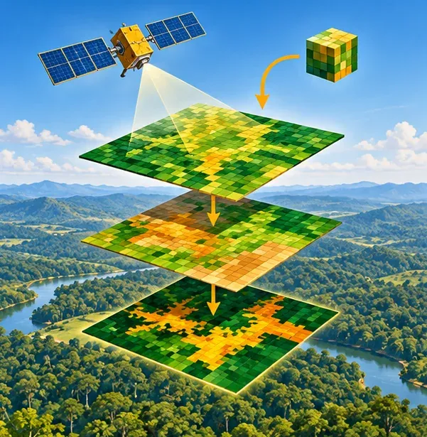
ForTy chains three models. The first learns from verified examples; its predictions, combined with outside data on tree height, buildings and forest loss, become expanded training data for the second. A final step analyzes several years of data together to smooth outliers. The Decoder reports that Google's Gemini language model also helped adapt older training data to EU definitions.
According to The Decoder (not a figure stated in the paper abstract), the team ran several rounds of active learning in which experts added about 43,000 examples where the map was wrong. The errors included vineyards in Europe classified as tree crops, natural pine forests in Central America labeled as planted forests, and oil palms missed in Africa and Indonesia. The paper’s published validation uses 8,190 sites; this article does not use the 90.9%/87.8% forest-type comparison figures that were not verified in the paper text reviewed here.
Overall Accuracy Is 90.2%, With Wide Gaps Between Classes
The paper validated the map independently against 8,190 expert-labeled stratified random sites. Overall accuracy for the six classes is 90.2%, 94.8% for natural forest classification and 95.5% for forest versus non-forest. The Decoder reports that two experts reviewed each site and that the authors warn the overall score is boosted by the easy-to-identify "other land" class. On the same test data, the European Commission map made for the EUDR scored 93.6% for forest versus non-forest.
- The map correctly identified 89% of primary forests confirmed by experts.
- About half of tree crops and planted forests were correctly identified, and about 60% of plantations.
- Viewed the other way, roughly a quarter to a third of areas mapped as plantations or tree crops were misclassified, and the map was wrong for a third of areas labeled as planted forest.
The Decoder points out that these gaps fall on the class boundaries that matter most for the EUDR. Experts were most often unsure about managed land, and those uncertain sites were excluded from the assessment, so the results may be overstated.
Known Limitations and Regional Biases
The research team estimates, as relayed by The Decoder, that the world has about 4.1 billion hectares of forest, including nearly 3.9 billion hectares of natural forest, of which about 2 billion hectares are primary forest. Planted forests cover about 250 million hectares, and tree crops cover nearly 200 million hectares, mostly in Asia.
- Primary forest in Asia is overestimated by about 200 million hectares, largely in Russia's conifer forests.
- About 94 million hectares of forest in Africa are missed, likely because of open dry forests and savannas.
- In some regions, shaded cocoa or coffee grown beneath a natural canopy is still labeled as forest; selectively logged or burned forests are also hard to classify.
- There is no separate class for open woodlands, which the EUDR treats separately; the researchers say future versions should add one.
- Annotators in the training data rarely classified forests near roads or settlements as primary forest, and the model inherited this bias.
The Decoder reports that the map, classification layer and test data are freely available under a CC BY 4.0 license, including in Google Earth Engine, with confidence scores for each class so users can set their own thresholds; the code is released in the GeeFlow and JEO repositories. The license terms on the data download page apply.
Octave Alto 2026.1 Places Live Video on 2D Maps and 3D Terrain
Octave Intelligence released Octave Alto 2026.1 on 27 October 2026. Alto is the company's geospatial solution for 2D, 3D and 4D visualization, analytics and data fusion. The new version lets developers bring live drone and camera video directly onto 2D maps and 3D terrain, so operators can see what a camera sees and also access the geospatial information attached to that view. The press release says many systems today require operators to piece together video, map data and mission data by hand across separate screens.
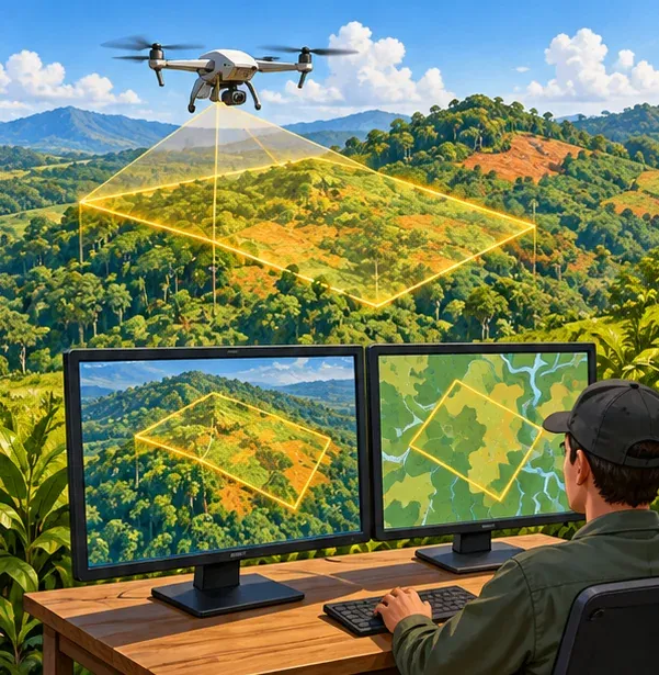
The release also supports Gaussian splats, which turn photos and scans into lifelike 3D models for mission planning, training and infrastructure monitoring. The company says it supports NATO's newest standards for military map symbols and battle plans, and names defense, aviation, public sector, transportation and infrastructure as its main customer industries. The update covers four products: Alto Browser, Alto Lightspeed, Alto Server and Alto Universal. All of these features are as described in the company's press release.
ForTy is a precomputed, downloadable global baseline dataset for 2020; Alto is software for displaying and integrating live data. The sources do not mention the two being used together.
Directions Taiwan can draw on
ForTy trains its models on satellite embeddings and expert-labeled samples, and publishes per-class confidence scores and validation results. These show how much accuracy differs between forest types, for example about half of tree crops and planted forests being correctly identified, which is a point of comparison when Taiwan discusses classifying forest type and management intensity.
For Taiwanese exporters whose products involve EUDR-regulated commodities, ForTy's open 2020 baseline map can serve as one reference for preliminary risk screening. It cannot serve alone as proof of compliance, and checks required by the EUDR still apply. The class errors described above, especially at the boundary between tree crops and planted forests, also need to be kept in mind.
Related coverage on this site about 3D maps: Taiwan's NLSC Starts Selling 1:1000 Maps and 3D City Meshes.
Leave a comment
Comments are reviewed before publication. Email is private and used only when contact is necessary. Privacy notice